Enjoyable Journeys
Strategy 1:
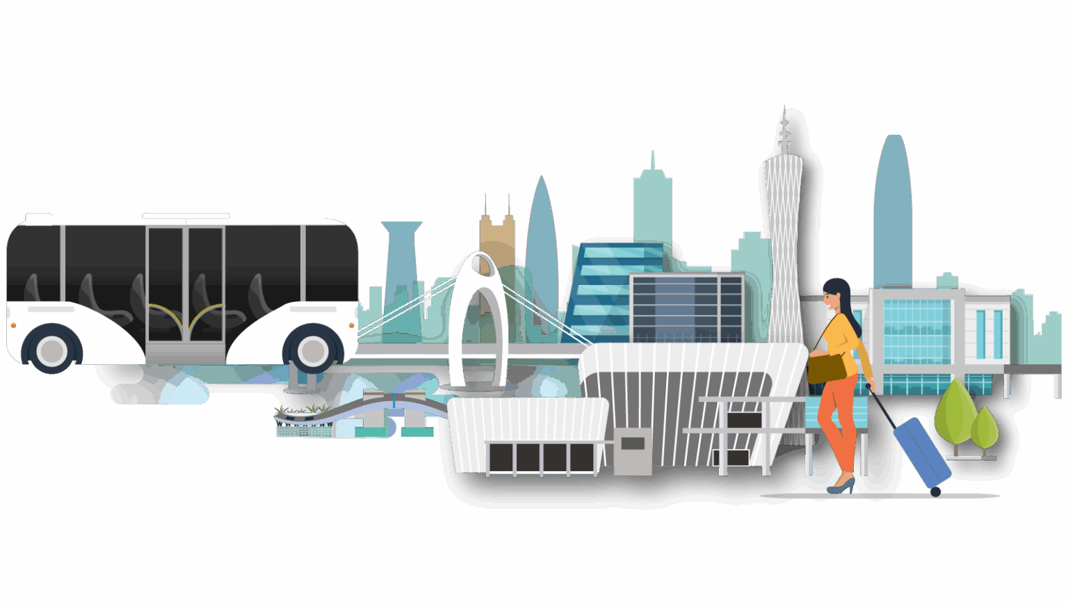
Developing Transport Hubs for Strengthening Internal and External Connectivity to Embrace New Opportunities
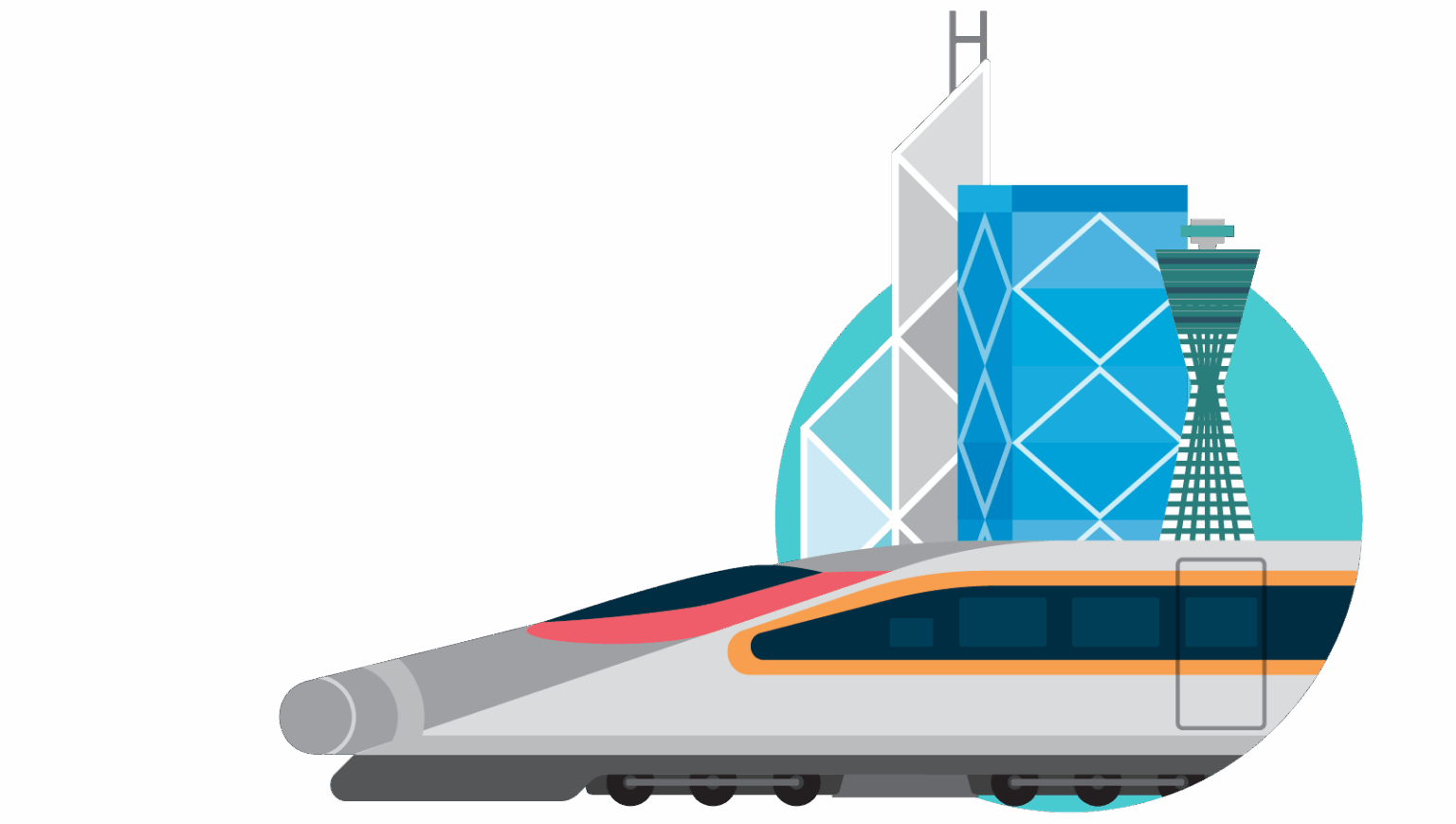
To reinforce Hong Kong’s unique status as the external gateway of the Greater Bay Area and an international hub, the Government will steadfastly advance forward-looking infrastructure planning. We are committed to building a more comprehensive network of railways and major roads, optimising the citywide transport layout, and fostering cross-boundary connectivity. These efforts aim to proactively align with the Greater Bay Area, thereby integrating and contributing to national development.
Recommendation 1 –
Expanding Transport Infrastructure and Building Interconnected Networks
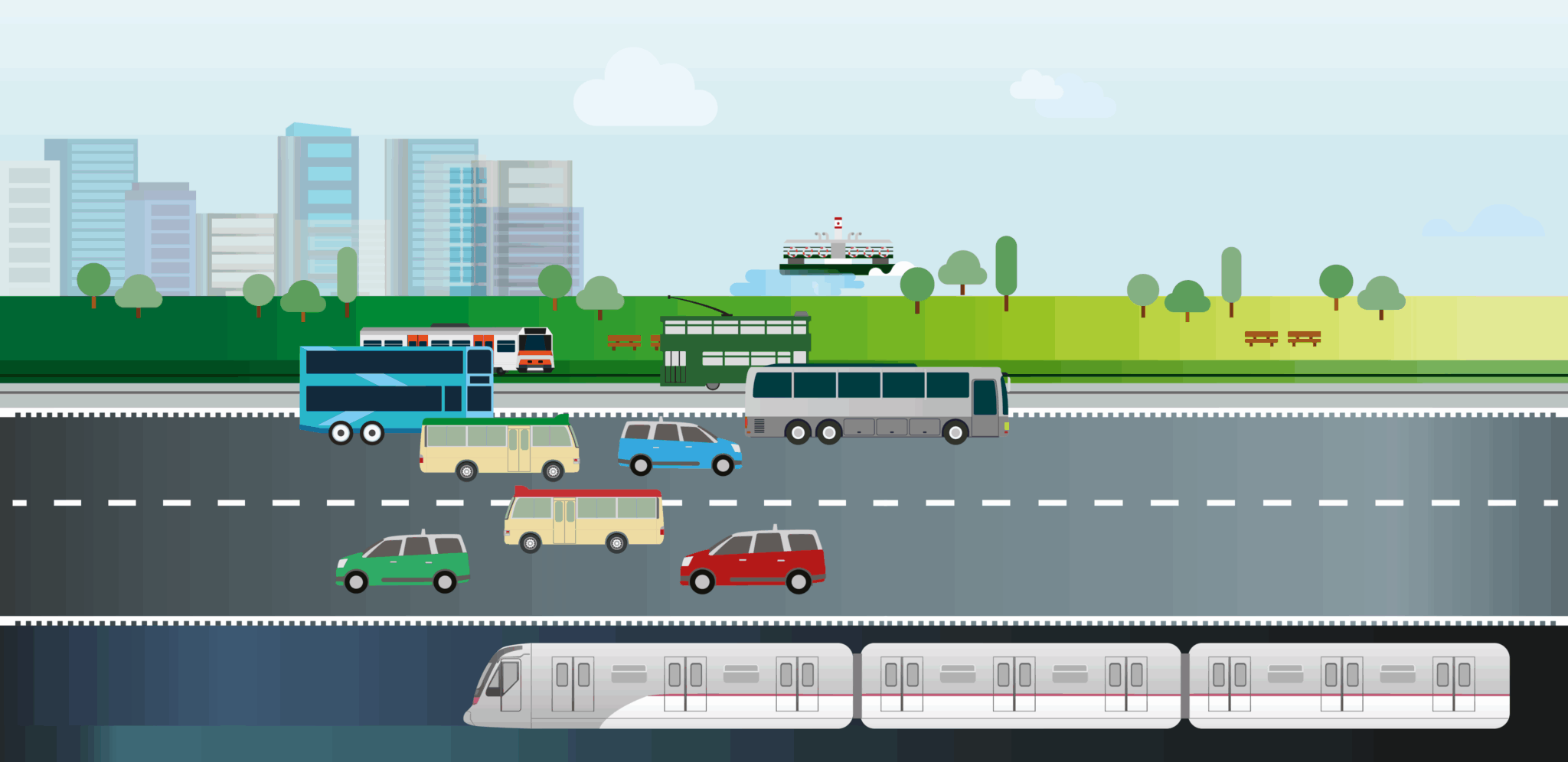
In terms of railways, several new railway lines under construction or planning will connect with different existing lines, eventually forming the“Five Vertical and Five Horizontal Corridors” rail loop, greatly facilitates citizens’ travel and comprehensively enhances the resilience of the railway network. . In addition, the Task Force for Hong Kong-Shenzhen Cooperation on Cross-boundary Railway Infrastructure is taking forward two cross-boundary railway projects, namely the Hong Kong-Shenzhen Western Rail Link (Hung Shui Kiu – Qianhai) and the Northern Link Spur Line, with the aim of enhancing the capacity and level of cross-boundary passenger services and fully integrating the metro networks in Hong Kong and Shenzhen.
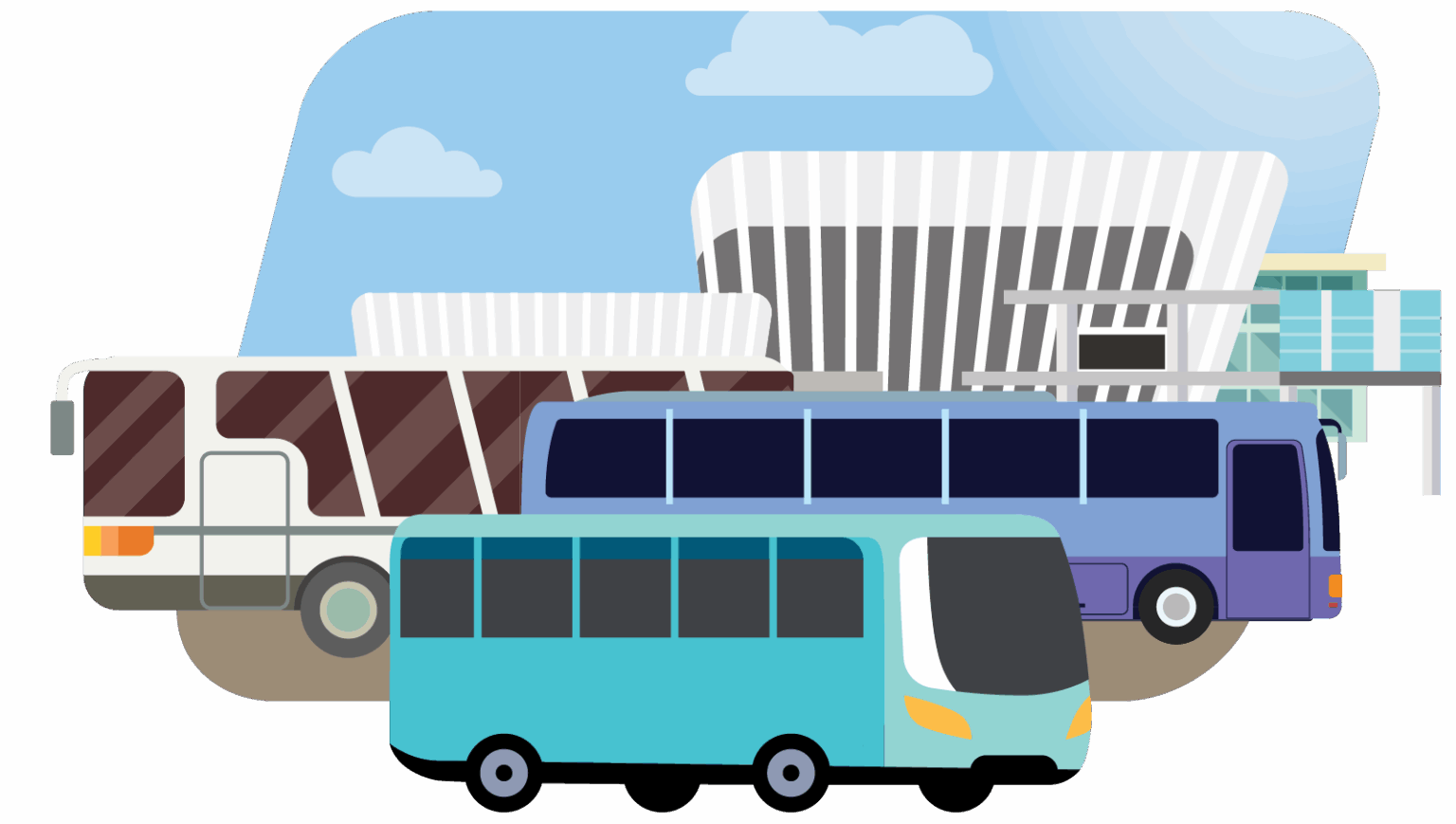
In terms of road transport, the Government is taking forward road infrastructure projects in an orderly manner, including the Northern Metropolis Highway, Route 11 and Shatin Bypass, forming the “Three Vertical and Three Horizontal Corridors” grand layout. These projects will further link up with various districts, strengthen Hong Kong’s road network, and promote the flow of people and goods between Hong Kong and Shenzhen.
The “Five Vertical and Five Horizontal” rail network overlaid with the “Three Vertical and Three Horizontal Corridors” major road network will create an “Eight Vertical and Eight Horizontal Corridors” transport network. This orderly layout will link the Northern Metropolis with the urban area, boost connectivity across various districts in Hong Kong and with other GBA cities, and propel the city’s long-term development.
Recommendation 2 –
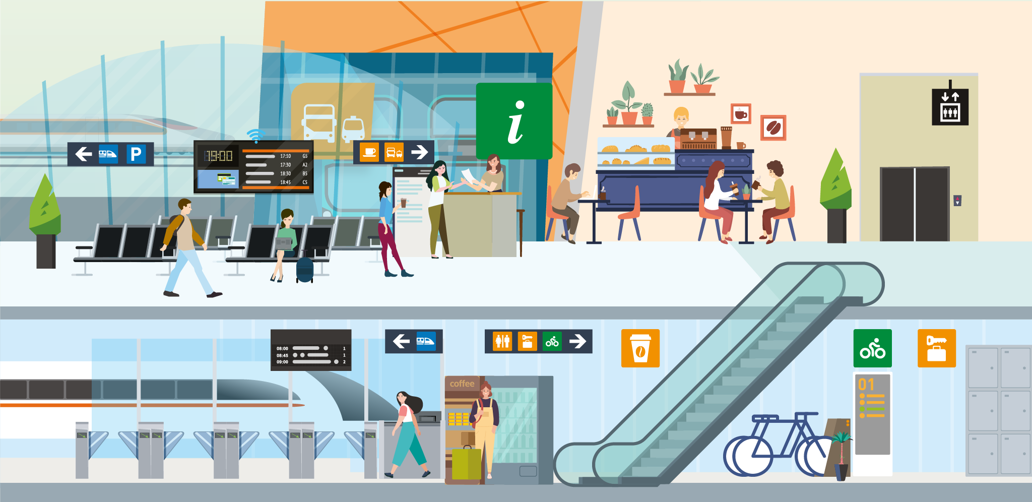
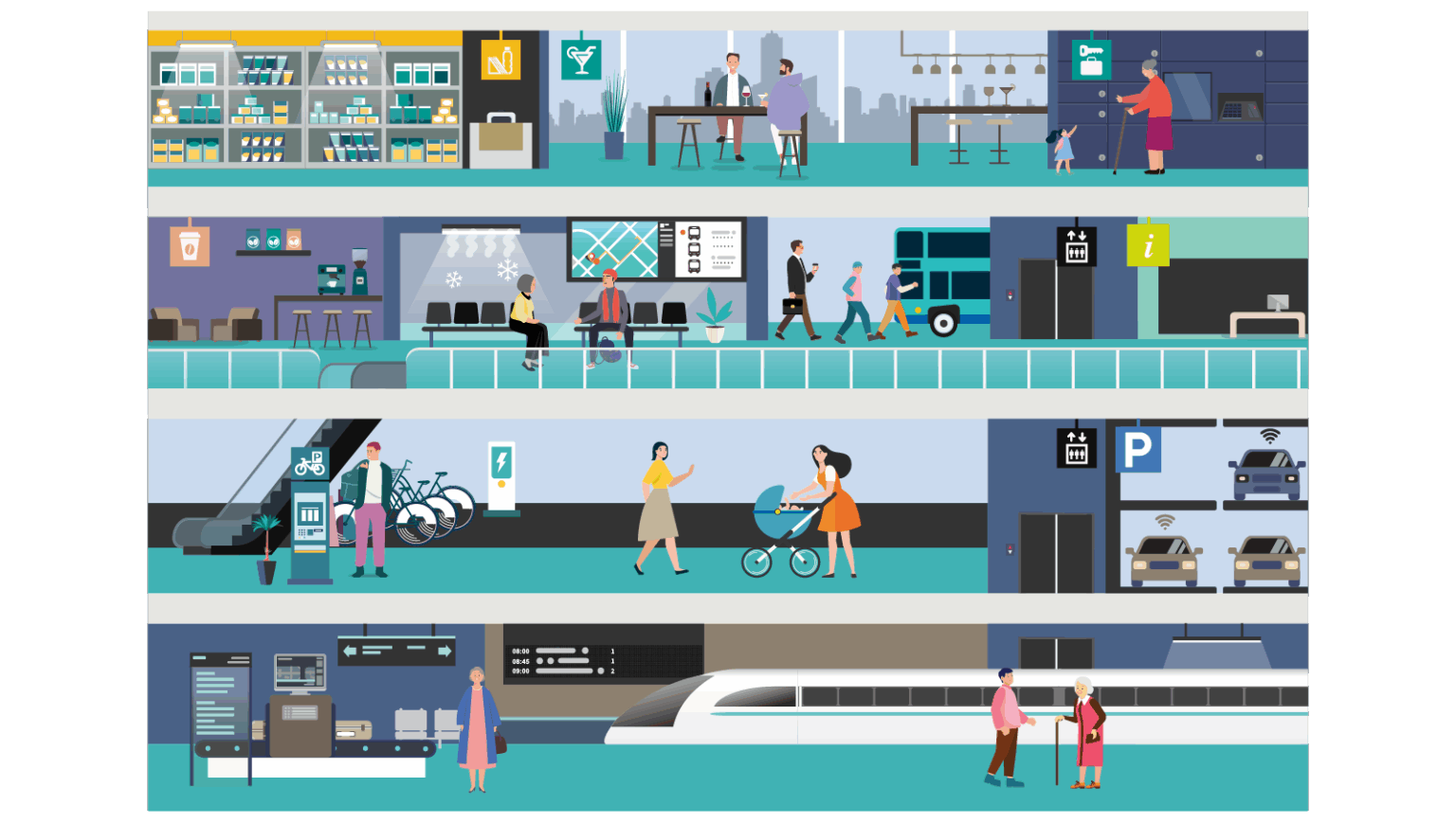
Building a New Generation of Transport Interchange Hubs
To enhance the convenience of transport infrastructure, we will construct a new generation of Transport Interchange Hubs, introducing a passenger-centric design philosophy and intelligent management. These hubs will facilitate efficient and comfortable transfers among public transport modes, establishing more liveable communities.
We recommend setting up Transport Interchange Hubs in suitable locations in the eastern, central and western parts of the Northern Metropolis (e.g. Hung Shui Kiu Station and near San Tin Station), so as to deepen the synergy between local and Shenzhen’s transport infrastructure planning, build a network that connects within and beyond the city, and promote connectivity across various districts in Hong Kong. As regards those areas that have already been developed, we will take advantage of the opportunities arising from urban renewal or major construction projects to explore the feasibility of introducing the Transport Interchange Hub concept in geographically advantageous locations (e.g. Hung Hom). Furthermore, subject to resource availability, we will enhance existing supporting facilities of public transport services by incorporating more “people-centric” elements to meet citizens’ expectations for continuous improvements.
Recommendation 3 –
Optimising Planning and Arrangements for Transport Facilities at Land Boundary Control Points
Since the commissioning of the Hong Kong Section of the High Speed Rail in 2018, passenger throughput has continued to grow. We will continue to study and enhance travel flexibility. In addition, we will continue to monitor the usage of other land boundary control points, and where the conditions of boundary control point facilities permit, plan more public transport services connecting boundary control points and different districts to enable the public to travel to and from boundary control points more conveniently.
Hong Kong and Shenzhen are working together to enhance and redevelop land boundary control points, such as the new Huanggang Port and the Sha Tau Kok Control Point redevelopment project, with a planning direction for providing convenient public transport services.
Recommendation 4 –
Facilitating Cross-boundary Vehicles
The “Southbound Travel for Guangdong Vehicles” scheme is a mutual arrangement with the “Northbound Travel for Hong Kong Vehicles” scheme, which allows eligible single-plate private cars of Guangdong to travel to Hong Kong via the Hong Kong-Zhuhai-Macao Bridge, facilitating visits between residents of the two places. The governments of Guangdong and Hong Kong will continue to actively formulate prudent implementation arrangements for steadily advancing the “Southbound Travel for Guangdong Vehicles” scheme, ensuring an orderly roll-out, user acceptance, public reassurance, and broad community benefitsi.
In addition, the Government has streamlined the procedures and requirements for applying for the “Closed Road Permit” and the “International Circulation Permit”. An electronic version of the “International Circulation Permit” has been introduced, simplifying the application process by allowing applicants to submit applications and supporting documents online, as well as to receive and print the electronic “International Circulation Permit” themselves.

Recommendation 5 –
Promoting Traffic Data Sharing among Cities in the Guangdong-Hong Kong-Macao Greater Bay Area
To further enhance the convenience of cross-boundary transport, the Government will strengthen cooperation with the Mainland and Macao governments to promote the interoperability of transport data and information within the GBA, enabling citizens and travellers to easily obtain cross-boundary transport information.

-
Strategy 1:
Developing Transport Hubs for Strengthening Internal and External Connectivity to Embrace New Opportunities Strategy 2: Benefiting People’s Livelihood through Providing Smart, Green and Diversified Transport - Strategy 3: Promoting Digital Management to Lead Development with Innovative Technology Strategy 4: Optimising Infrastructure and Road Use to Boost Transport Efficiency
- Strategy 5: Building a Green and Low-Carbon Living Circle through Transport Planning Strategy 6: Ensuring a Safe and Inclusive Environment for Healthy and Vibrant Travel


Please rotate your device
into portrait orientation
Traffic and Transport Strategy Study Virtual Portal is designed to be viewed in portrait orientation on mobile devices. Please rotate your device in order to view the website content properly.